News archive - Interview on the WBC-RRI.NET Mapping of the RRI Landscape in the Western Balkans
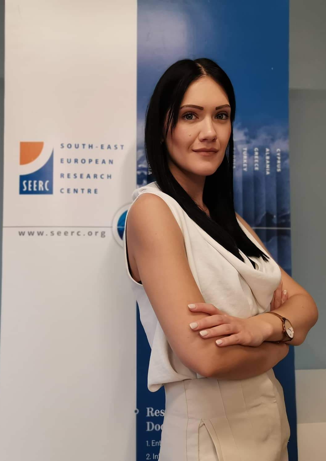
The WBC-RRI.NET project started with an extensive mapping exercise coordinated by the Greek partner, the South-East European Research Centre. We interviewed Maria Michali (SEERC) about the process and its results.
POLICY ANSWERS: WBC-RR.NET has implemented an extensive mapping of the RRI ecosystem in the region which was coordinated by SEERC. What was the methodology that was applied in the project?
MM: An in-depth mapping methodology was applied within the context of WP1 of WBC-RRI.NET based on a solid conceptual framework, leading to the development of a set of mapping tools. The overall development, structure and content of the mapping tools took into account the following: academic literature on mapping methodologies; mapping activities of SWAFS-14 RRI projects at a territorial level; the features of the five WB territories that were to be mapped and examined - in correspondence to Responsible Research and Innovation (RRI), Smart Specialisation Strategy (RIS3/S3), innovation policy and the future RRI ‘anchor’ initiatives.
Ultimately, a mapping toolbox was used for mapping the R&I /S3-related and RRI ecosystem of the 5 WB territories, first at a regional level (i.e. the target region where the WBC-RRI.NET RRI ‘anchor’ initiatives will be realised) and then at a national level (i.e. the entire country). The mapping toolbox consists of the following mapping tools (templates): 1) a database of key R&I and RRI actors; 2) a database of R&I, RRI and S3-related practices and initiatives; 3) an observation grid of territorial and/or national policies; 4) an observation grid with regulations/legislative frameworks and other circumstances that favour or hinder the R&I/S3 development and RRI integration (i.e. observation grid of territorial and national opportunities and challenges for R&I/S3 development and RRI integration).
It is finally worth noting that the mapping tasks constituted collaborative activities. Both R&I organisations representing each WB territory cooperated for ensuring the optimum quality of the mapping results, and iterative rounds of feedback with the respective WP leader also took place.
POLICY ANSWERS: Could you describe the most surprising results but also which expectations about the RRI ecosystems were confirmed?
MM: Various results were acquired upon the completion of the mapping activities referring, among others, to key actors in the WB region and their relation to RRI, policies supporting RRI integration, as well as regional and national factors hindering the successful RRI implementation in the region. The most surprising results refer to the fact that there are several RRI-oriented practices and initiatives in the WB area examined, but not necessarily labelled under RRI. This also encompasses our major expectation confirmed, in other words, that RRI as a ‘formal’ concept (named as such) did not prove to be widespread. Concurrently, it was confirmed that most hindering factors for RRI integration are mostly linked to the challenges in the R&I field as a whole, and major facilitating factors relate to EU twinning and the multiple advancements of the WBs in recent years.
POLICY ANSWERS: How are the mapping results now being exploited? What are the next steps? And where can the interested reader find your results?
MM: The mapping results have already been exploited by the WBC-RRI.NET consortium. They have provided valuable input and a solid base to the WB partners, in the sense of helping them develop their future scenarios and the designs of their RRI ‘anchor’ initiatives. Indicatively, WB partners have managed to already involve core regional actors in the co-design of their ‘anchors’ and have further tailored the content of their designs to existing, valuable practices as well as to emerging challenges. Similarly, mapping results have provided useful input to the development of the WBC-RRI.NET working groups and to the organisation of Quadruple Helix dialogues in the WB territories involved in the project and will be further exploited during the implementation of the RRI ‘anchor’ initiatives.
The next steps refer to publicly sharing the mapping results after the formal project review. These will be published online on the project website and will be further disseminated through our project’s newsletter and social media channels.
- Western Balkans
- Agricultural Sciences
- Cross-thematic/Interdisciplinary
- Engineering and Technology
- General
- Humanities
- Medical and Health Sciences
- Natural Sciences
- Social Sciences
Entry created by Elke Dall on June 8, 2022
Modified on June 8, 2022